Pool at the upper end of Lydebrook Dingle
Introduction
The photograph on this page of Pool at the upper end of Lydebrook Dingle by Richard Law as part of the Geograph project.
The Geograph project started in 2005 with the aim of publishing, organising and preserving representative images for every square kilometre of Great Britain, Ireland and the Isle of Man.

There are currently over 7.5m images from over 14,400 individuals and you can help contribute to the project by visiting https://www.geograph.org.uk
Pool at the upper end of Lydebrook Dingle
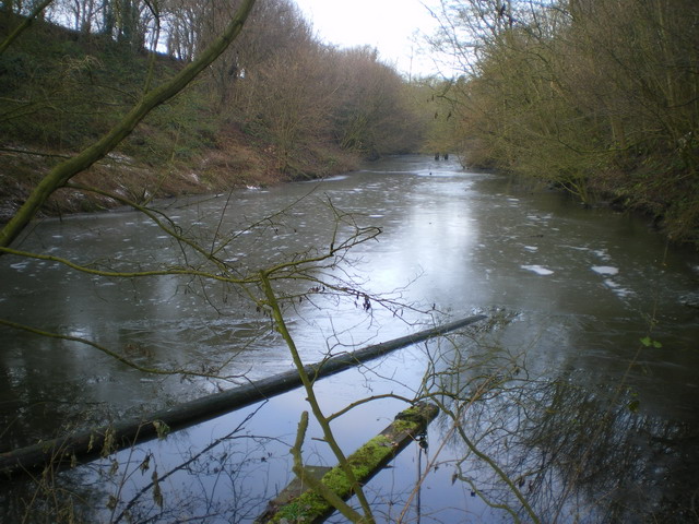
Image: © Richard Law Taken: 28 Dec 2009
I suspect this pool had some function in connection with the former coalmining activity in this area, although it's not clear just what that function might be now. Coal measures are exposed at the surface, just out of shot to the left, above the pool's outflow.
Images are licensed for reuse under creativecommons.org/licenses/by-sa/2.0
Image Location
Latitude
52.659087
Longitude
-2.508979