Watermill at Roke Farm, Bere Regis
Introduction
The photograph on this page of Watermill at Roke Farm, Bere Regis by John Lamper as part of the Geograph project.
The Geograph project started in 2005 with the aim of publishing, organising and preserving representative images for every square kilometre of Great Britain, Ireland and the Isle of Man.

There are currently over 7.5m images from over 14,400 individuals and you can help contribute to the project by visiting https://www.geograph.org.uk
Watermill at Roke Farm, Bere Regis
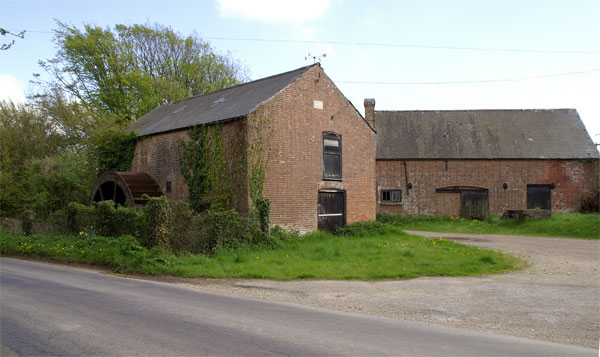
Image: © John Lamper Taken: 3 May 2006
The mill was presumably fed from the pond in SY8396, which is marked as ‘Millum Head’ on 1:25 000 maps and is at a higher elevation.
Images are licensed for reuse under creativecommons.org/licenses/by-sa/2.0
Image Location
Latitude
50.763236
Longitude
-2.235117