Field Gate, Mid Risk Farm
Introduction
The photograph on this page of Field Gate, Mid Risk Farm by wfmillar as part of the Geograph project.
The Geograph project started in 2005 with the aim of publishing, organising and preserving representative images for every square kilometre of Great Britain, Ireland and the Isle of Man.

There are currently over 7.5m images from over 14,400 individuals and you can help contribute to the project by visiting https://www.geograph.org.uk
Field Gate, Mid Risk Farm
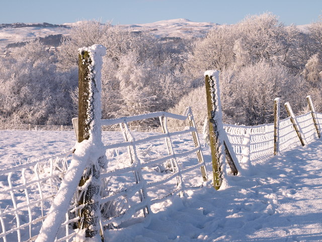
Image: © wfmillar Taken: 24 Dec 2009
The trees hide the Lochwinnoch/Glasgow railway line and Castle Semple Loch. Good view of Misty Law in Muirshiel Regional Country Park above the trees.
Images are licensed for reuse under creativecommons.org/licenses/by-sa/2.0
Image Location


Leaflet Map data © OpenStreetMap
Latitude
55.797662
Longitude
-4.599547