Shirley (Monks Orchard Road) bus terminus
Introduction
The photograph on this page of Shirley (Monks Orchard Road) bus terminus by Dr Neil Clifton as part of the Geograph project.
The Geograph project started in 2005 with the aim of publishing, organising and preserving representative images for every square kilometre of Great Britain, Ireland and the Isle of Man.

There are currently over 7.5m images from over 14,400 individuals and you can help contribute to the project by visiting https://www.geograph.org.uk
Shirley (Monks Orchard Road) bus terminus
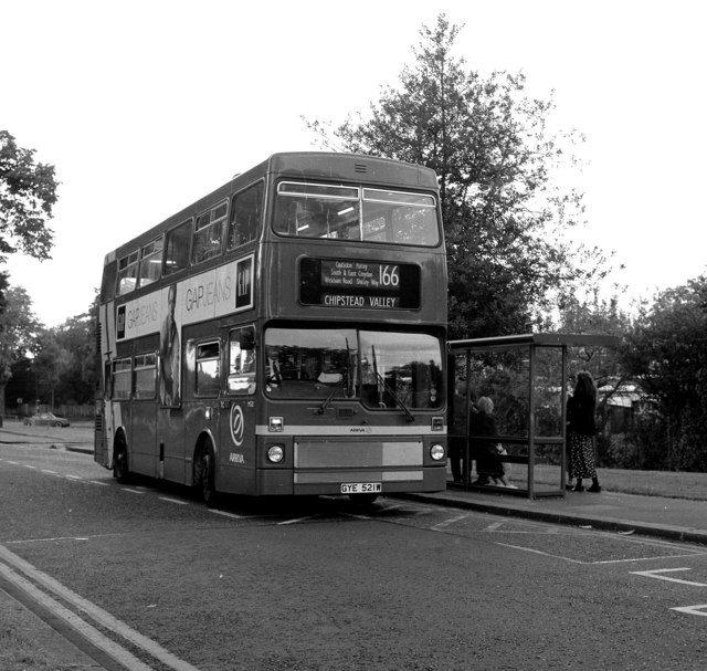
Image: © Dr Neil Clifton Taken: 25 Aug 1998
For almost thirty years from around 1970, Route 166 ran between Monks Orchard Road and Chipstead Valley. Here is M521 at the eastern terminus in Shirley. Around the turn of the century, the route lost its eastern end, while the western end was extended to Banstead, and later to Epsom. At the same time the route lost its double deckers.
Images are licensed for reuse under creativecommons.org/licenses/by-sa/2.0
Image Location
Latitude
51.377419
Longitude
-0.0269