Start of the Fraserburgh Section of the F & B Way
Introduction
The photograph on this page of Start of the Fraserburgh Section of the F & B Way by Colin Smith as part of the Geograph project.
The Geograph project started in 2005 with the aim of publishing, organising and preserving representative images for every square kilometre of Great Britain, Ireland and the Isle of Man.

There are currently over 7.5m images from over 14,400 individuals and you can help contribute to the project by visiting https://www.geograph.org.uk
Start of the Fraserburgh Section of the F & B Way
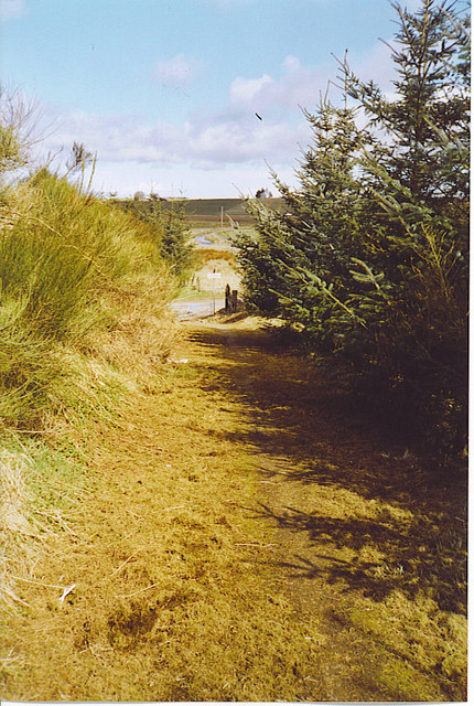
Image: © Colin Smith Taken: 18 Apr 2006
The path ahead crosses the main B9106 from Maud to Tillypestle. In the distance, the South Ugie Water is visible too.
Images are licensed for reuse under creativecommons.org/licenses/by-sa/2.0
Image Location
Latitude
57.523901
Longitude
-2.125208