Footpath sign, Watcombe Park
Introduction
The photograph on this page of Footpath sign, Watcombe Park by Derek Harper as part of the Geograph project.
The Geograph project started in 2005 with the aim of publishing, organising and preserving representative images for every square kilometre of Great Britain, Ireland and the Isle of Man.

There are currently over 7.5m images from over 14,400 individuals and you can help contribute to the project by visiting https://www.geograph.org.uk
Footpath sign, Watcombe Park
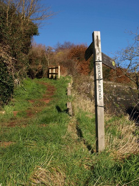
Image: © Derek Harper Taken: 22 Dec 2009
A reverse view of the scene in Image The John Musgrave Heritage Trail makes a sharp turn here at the junction of Seymour Drive with Padacre Road on its way between Brunel Woods and Great Hill.
Images are licensed for reuse under creativecommons.org/licenses/by-sa/2.0
Image Location
Latitude
50.500066
Longitude
-3.533757