Rownhams Lane
Introduction
The photograph on this page of Rownhams Lane by Jim Goldsmith as part of the Geograph project.
The Geograph project started in 2005 with the aim of publishing, organising and preserving representative images for every square kilometre of Great Britain, Ireland and the Isle of Man.

There are currently over 7.5m images from over 14,400 individuals and you can help contribute to the project by visiting https://www.geograph.org.uk
Rownhams Lane
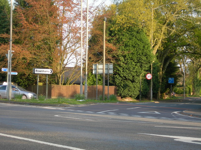
Image: © Jim Goldsmith Taken: 3 May 2006
Looking down Rownhams Lane from its junction on the A27 at the Northern end of North Baddesley
Images are licensed for reuse under creativecommons.org/licenses/by-sa/2.0
Image Location
Latitude
50.982632
Longitude
-1.454347