Housing, Aldbourne
Introduction
The photograph on this page of Housing, Aldbourne by Maigheach-gheal as part of the Geograph project.
The Geograph project started in 2005 with the aim of publishing, organising and preserving representative images for every square kilometre of Great Britain, Ireland and the Isle of Man.

There are currently over 7.5m images from over 14,400 individuals and you can help contribute to the project by visiting https://www.geograph.org.uk
Housing, Aldbourne
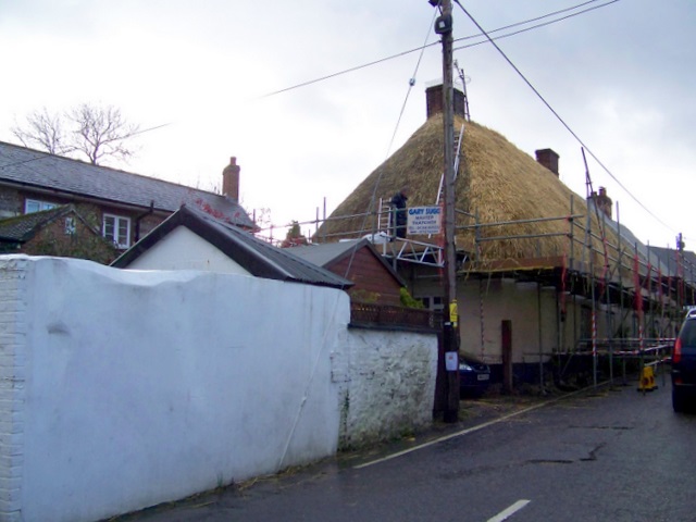
Image: © Maigheach-gheal Taken: 22 Nov 2009
The narrow lane has been closed to allow the scaffolding and thatching to take place on one of the roadside properties.
Images are licensed for reuse under creativecommons.org/licenses/by-sa/2.0
Image Location


Leaflet Map data © OpenStreetMap
Latitude
51.47821
Longitude
-1.621969