Field headland near Axford
Introduction
The photograph on this page of Field headland near Axford by Maigheach-gheal as part of the Geograph project.
The Geograph project started in 2005 with the aim of publishing, organising and preserving representative images for every square kilometre of Great Britain, Ireland and the Isle of Man.

There are currently over 7.5m images from over 14,400 individuals and you can help contribute to the project by visiting https://www.geograph.org.uk
Field headland near Axford
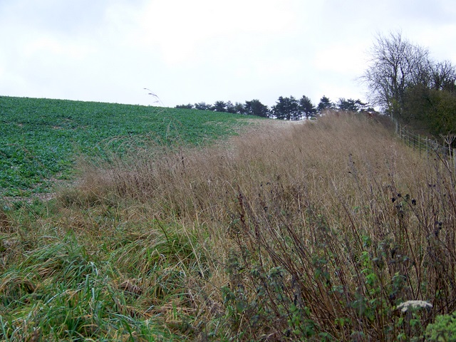
Image: © Maigheach-gheal Taken: 22 Nov 2009
The wide headland has been left to seed, providing winter feed for birds and a corridor for small animals.
Images are licensed for reuse under creativecommons.org/licenses/by-sa/2.0
Image Location
Latitude
51.452683
Longitude
-1.654129