Water level marker, River Key, Purton Stoke
Introduction
The photograph on this page of Water level marker, River Key, Purton Stoke by Brian Robert Marshall as part of the Geograph project.
The Geograph project started in 2005 with the aim of publishing, organising and preserving representative images for every square kilometre of Great Britain, Ireland and the Isle of Man.

There are currently over 7.5m images from over 14,400 individuals and you can help contribute to the project by visiting https://www.geograph.org.uk
Water level marker, River Key, Purton Stoke
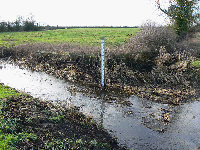
Image: © Brian Robert Marshall Taken: 27 Dec 2009
The River Key is a tributary of the River Thames, which it joins just east of Cricklade about 4 kilometres to the north. The area is prone to flooding at times. Not visible at this resolution is the height above ordnance datum shown on the marker of 83 metres.
Images are licensed for reuse under creativecommons.org/licenses/by-sa/2.0
Image Location
Latitude
51.613262
Longitude
-1.874162