Weston Hills from Quickswood Farm
Introduction
The photograph on this page of Weston Hills from Quickswood Farm by Paul Dixon as part of the Geograph project.
The Geograph project started in 2005 with the aim of publishing, organising and preserving representative images for every square kilometre of Great Britain, Ireland and the Isle of Man.

There are currently over 7.5m images from over 14,400 individuals and you can help contribute to the project by visiting https://www.geograph.org.uk
Weston Hills from Quickswood Farm
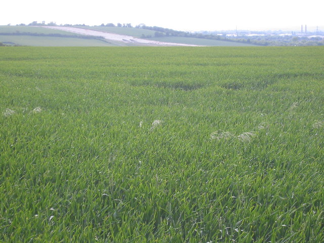
Image: © Paul Dixon Taken: 5 Jun 2005
Looking west we see construction work on the Baldock bypass as it cuts into the Weston Hills
Images are licensed for reuse under creativecommons.org/licenses/by-sa/2.0
Image Location


Leaflet Map data © OpenStreetMap
Latitude
51.976347
Longitude
-0.145132