Barton on Sea, golf course
Introduction
The photograph on this page of Barton on Sea, golf course by Mike Faherty as part of the Geograph project.
The Geograph project started in 2005 with the aim of publishing, organising and preserving representative images for every square kilometre of Great Britain, Ireland and the Isle of Man.

There are currently over 7.5m images from over 14,400 individuals and you can help contribute to the project by visiting https://www.geograph.org.uk
Barton on Sea, golf course
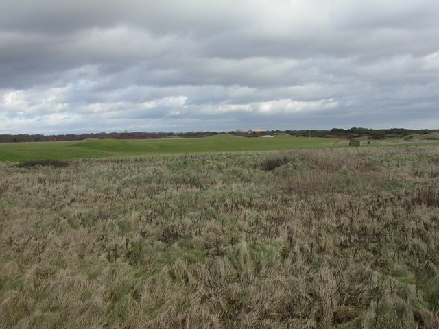
Image: © Mike Faherty Taken: 27 Dec 2009
Man-made hillocks and bunkers, with the clubhouse in the distance to the right of centre. http://www.bosgc.co.uk/pages.php/index.html
Images are licensed for reuse under creativecommons.org/licenses/by-sa/2.0
Image Location
Latitude
50.734839
Longitude
-1.653487