A500(T) at Red Street
Introduction
The photograph on this page of A500(T) at Red Street by Steve Lewin as part of the Geograph project.
The Geograph project started in 2005 with the aim of publishing, organising and preserving representative images for every square kilometre of Great Britain, Ireland and the Isle of Man.

There are currently over 7.5m images from over 14,400 individuals and you can help contribute to the project by visiting https://www.geograph.org.uk
A500(T) at Red Street
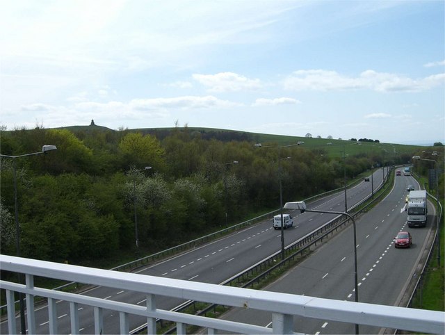
Image: © Steve Lewin Taken: 3 May 2006
View from the road bridge over the A500. The Wedgwood Monument is visible on the skyline to the left.
Images are licensed for reuse under creativecommons.org/licenses/by-sa/2.0
Image Location
Latitude
53.060458
Longitude
-2.262573