Seaview Estate, Albion Street
Introduction
The photograph on this page of Seaview Estate, Albion Street by Simon Carey as part of the Geograph project.
The Geograph project started in 2005 with the aim of publishing, organising and preserving representative images for every square kilometre of Great Britain, Ireland and the Isle of Man.

There are currently over 7.5m images from over 14,400 individuals and you can help contribute to the project by visiting https://www.geograph.org.uk
Seaview Estate, Albion Street
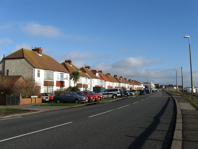
Image: © Simon Carey Taken: 25 Dec 2009
The estate starts from here and stretches to the junction with The Gardens which marks the eastern limit of Southwick. The name is a bit of a misnomer as the initial view is of the power station and a new steel terminal. Albion Street is the name of the A259 as it passes through Southwick, it changes to Fishersgate Terrace as it enters Fishersgate.
Images are licensed for reuse under creativecommons.org/licenses/by-sa/2.0
Image Location
Latitude
50.831255
Longitude
-0.228242