Railway bridge no. 469, Catford
Introduction
The photograph on this page of Railway bridge no. 469, Catford by Stephen Craven as part of the Geograph project.
The Geograph project started in 2005 with the aim of publishing, organising and preserving representative images for every square kilometre of Great Britain, Ireland and the Isle of Man.

There are currently over 7.5m images from over 14,400 individuals and you can help contribute to the project by visiting https://www.geograph.org.uk
Railway bridge no. 469, Catford
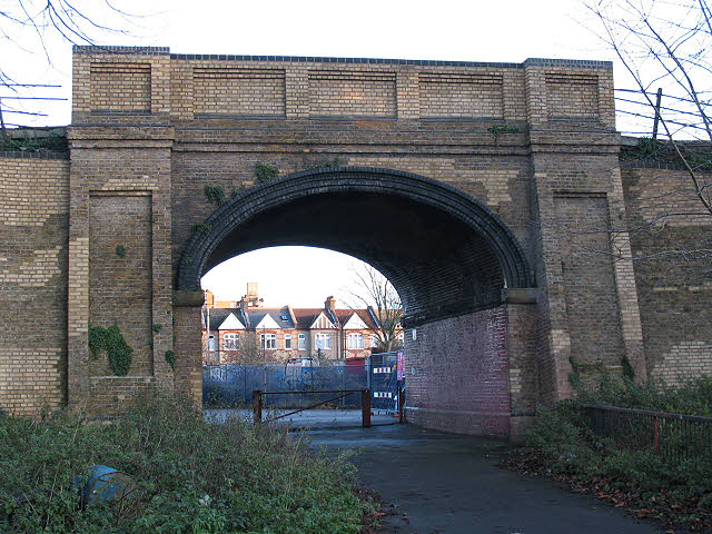
Image: © Stephen Craven Taken: 26 Dec 2009
The bridge takes the Blackfriars-Bromley railway (the "Catford Loop" line) over a footpath that leads from Adenmore Road into Ladywell Fields. The Network Rail plaque giving its number also gives its chainage (distance) as 7 miles 75 chains [from Victoria].
Images are licensed for reuse under creativecommons.org/licenses/by-sa/2.0
Image Location
Latitude
51.44655
Longitude
-0.025505