Open space with shelter, Ladywell Fields
Introduction
The photograph on this page of Open space with shelter, Ladywell Fields by Stephen Craven as part of the Geograph project.
The Geograph project started in 2005 with the aim of publishing, organising and preserving representative images for every square kilometre of Great Britain, Ireland and the Isle of Man.

There are currently over 7.5m images from over 14,400 individuals and you can help contribute to the project by visiting https://www.geograph.org.uk
Open space with shelter, Ladywell Fields
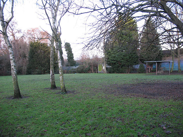
Image: © Stephen Craven Taken: 26 Dec 2009
The space is adjacent to the bowling club Image and tennis courts. It may also have been a dedicated sports facility at one time but is now just an open space with self-seeded birch trees and a simple shelter.
Images are licensed for reuse under creativecommons.org/licenses/by-sa/2.0
Image Location
Latitude
51.448262
Longitude
-0.025719