The Cube, Birmingham
Introduction
The photograph on this page of The Cube, Birmingham by Michael Westley as part of the Geograph project.
The Geograph project started in 2005 with the aim of publishing, organising and preserving representative images for every square kilometre of Great Britain, Ireland and the Isle of Man.

There are currently over 7.5m images from over 14,400 individuals and you can help contribute to the project by visiting https://www.geograph.org.uk
The Cube, Birmingham
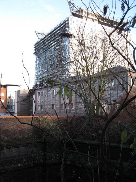
Image: © Michael Westley Taken: 26 Dec 2009
View from Granville Street of latest addition to buildings in Birmingham. The Cube will be mixed residential and commercial accommodation. At bottom of photo can be seen roof of railway tunnel into New Street.
Images are licensed for reuse under creativecommons.org/licenses/by-sa/2.0
Image Location
Latitude
52.474866
Longitude
-1.908972