Crown Rise, Llanfrechfa
Introduction
The photograph on this page of Crown Rise, Llanfrechfa by Jaggery as part of the Geograph project.
The Geograph project started in 2005 with the aim of publishing, organising and preserving representative images for every square kilometre of Great Britain, Ireland and the Isle of Man.

There are currently over 7.5m images from over 14,400 individuals and you can help contribute to the project by visiting https://www.geograph.org.uk
Crown Rise, Llanfrechfa
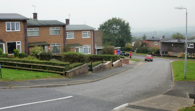
Image: © Jaggery Taken: 15 Oct 2009
Houses on the south side of Crown Rise, between Caerleon Road (B4236) and the turning for West Bank, visible at the middle right edge of the photo.
Images are licensed for reuse under creativecommons.org/licenses/by-sa/2.0
Image Location
Latitude
51.645921
Longitude
-3.001512