The "Fiddler's Elbow" Bridge
Introduction
The photograph on this page of The "Fiddler's Elbow" Bridge by John Haynes as part of the Geograph project.
The Geograph project started in 2005 with the aim of publishing, organising and preserving representative images for every square kilometre of Great Britain, Ireland and the Isle of Man.

There are currently over 7.5m images from over 14,400 individuals and you can help contribute to the project by visiting https://www.geograph.org.uk
The "Fiddler's Elbow" Bridge
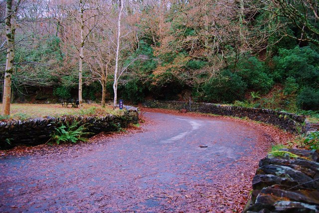
Image: © John Haynes Taken: 1 Dec 2009
I have a 1920's postcard of this view when the Dolgellau to Abermaw road had to negotiate this tight turn (the road was even narrower then) now long by-passed. The inside of the curve is now picnic area. A good starting point for walks up into Cwm Mynach.
Images are licensed for reuse under creativecommons.org/licenses/by-sa/2.0
Image Location
Latitude
52.752035
Longitude
-3.960169