Council Housing - Sandwell Road
Introduction
The photograph on this page of Council Housing - Sandwell Road by John M as part of the Geograph project.
The Geograph project started in 2005 with the aim of publishing, organising and preserving representative images for every square kilometre of Great Britain, Ireland and the Isle of Man.

There are currently over 7.5m images from over 14,400 individuals and you can help contribute to the project by visiting https://www.geograph.org.uk
Council Housing - Sandwell Road
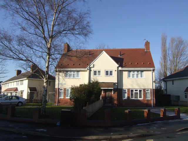
Image: © John M Taken: 25 Dec 2009
The Marsh Lane Estate built in 1937 has had a number of refurbishment schemes including removing the original unattractive grey concrete block boundary walls.
Images are licensed for reuse under creativecommons.org/licenses/by-sa/2.0
Image Location
Latitude
52.619648
Longitude
-2.137031