Fourth Hole, Hassocks Golf Course
Introduction
The photograph on this page of Fourth Hole, Hassocks Golf Course by Simon Carey as part of the Geograph project.
The Geograph project started in 2005 with the aim of publishing, organising and preserving representative images for every square kilometre of Great Britain, Ireland and the Isle of Man.

There are currently over 7.5m images from over 14,400 individuals and you can help contribute to the project by visiting https://www.geograph.org.uk
Fourth Hole, Hassocks Golf Course
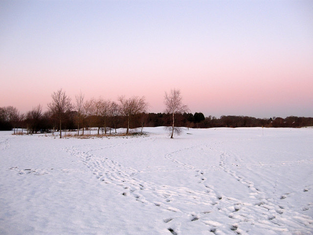
Image: © Simon Carey Taken: 20 Dec 2009
Opened in 1995 on land that was once farmland the field's boundaries are still intact here and according to the 1838 tithe map it was called Nine Acres.
Images are licensed for reuse under creativecommons.org/licenses/by-sa/2.0
Image Location
Latitude
50.935796
Longitude
-0.14955