First Hole, Hassocks Golf Course
Introduction
The photograph on this page of First Hole, Hassocks Golf Course by Simon Carey as part of the Geograph project.
The Geograph project started in 2005 with the aim of publishing, organising and preserving representative images for every square kilometre of Great Britain, Ireland and the Isle of Man.

There are currently over 7.5m images from over 14,400 individuals and you can help contribute to the project by visiting https://www.geograph.org.uk
First Hole, Hassocks Golf Course
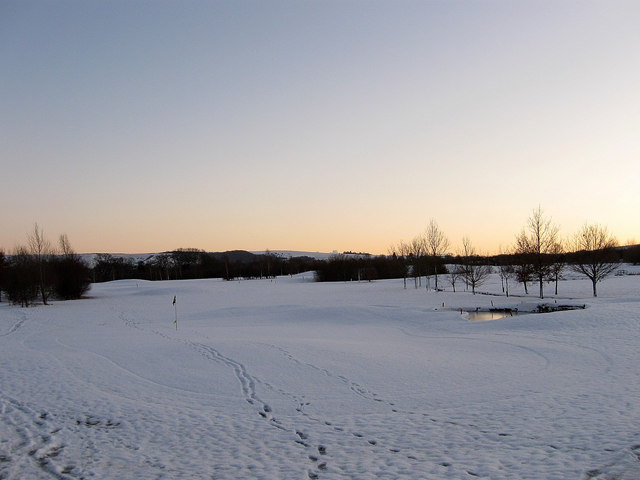
Image: © Simon Carey Taken: 20 Dec 2009
The course opened in 1995 on what was open farmland. Taken at sunset with the northern escarpment of the South Downs in the distance and the Jack & Jill windmills just visible on the right.
Images are licensed for reuse under creativecommons.org/licenses/by-sa/2.0
Image Location


Leaflet Map data © OpenStreetMap
Latitude
50.935124
Longitude
-0.152566