Aviemore Station
Introduction
The photograph on this page of Aviemore Station by Michael Westley as part of the Geograph project.
The Geograph project started in 2005 with the aim of publishing, organising and preserving representative images for every square kilometre of Great Britain, Ireland and the Isle of Man.

There are currently over 7.5m images from over 14,400 individuals and you can help contribute to the project by visiting https://www.geograph.org.uk
Aviemore Station
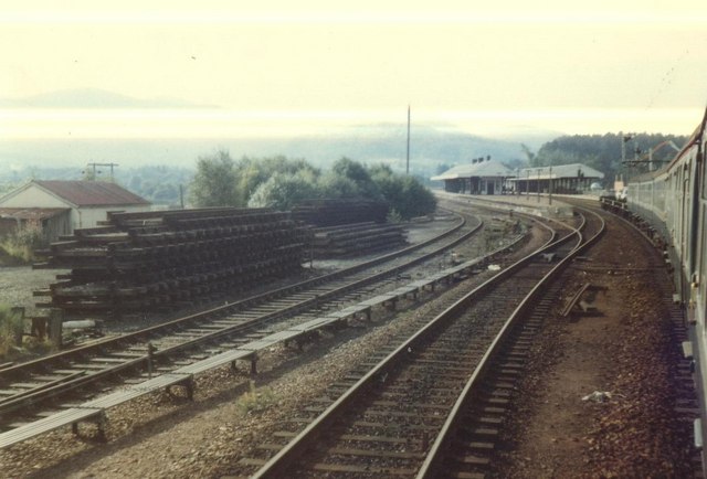
Image: © Michael Westley Taken: Unknown
Looking south as train passes through Aviemore. In 80s overnight train services still provided the occasional Motorail service (see low carriage on rear of train). This was the final part of an overnight rail journey to Inverness from Birmingham, with sleeper Birmingham to Edinburgh, then normal service north.
Images are licensed for reuse under creativecommons.org/licenses/by-sa/2.0
Image Location
Latitude
57.188884
Longitude
-3.828488