Barn Mead
Introduction
The photograph on this page of Barn Mead by Simon Carey as part of the Geograph project.
The Geograph project started in 2005 with the aim of publishing, organising and preserving representative images for every square kilometre of Great Britain, Ireland and the Isle of Man.

There are currently over 7.5m images from over 14,400 individuals and you can help contribute to the project by visiting https://www.geograph.org.uk
Barn Mead
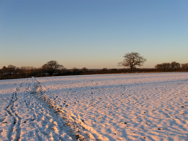
Image: © Simon Carey Taken: 20 Dec 2009
The name of the field according to the 1838 tithe map. The hedgerow in the distance marks the boundary of the parishes of Hurstpierpoint and originally Clayton though since the 1970s it has been Hassocks.
Images are licensed for reuse under creativecommons.org/licenses/by-sa/2.0
Image Location
Latitude
50.938155
Longitude
-0.156573