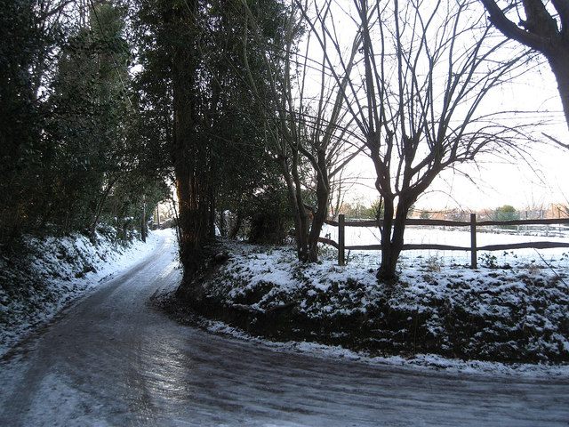
Belmont Lane
Introduction
The photograph on this page of Belmont Lane by Simon Carey as part of the Geograph project.
The Geograph project started in 2005 with the aim of publishing, organising and preserving representative images for every square kilometre of Great Britain, Ireland and the Isle of Man.
There are currently over 7.5m images from over 14,400 individuals and you can help contribute to the project by visiting https://www.geograph.org.uk

Image: © Simon Carey Taken: 20 Dec 2009
Two days after the snow fell coupled with two nights of subzero temperatures have turned this untreated private road into an ice rink. Not pleasant to walk on at all. Belmont Lane goes west before turning south towards the B2116. The junction to the right goes to Clayton Wickham Farm and is a public bridleway as well as a private drive.

