Porters Loke (sign)
Introduction
The photograph on this page of Porters Loke (sign) by Evelyn Simak as part of the Geograph project.
The Geograph project started in 2005 with the aim of publishing, organising and preserving representative images for every square kilometre of Great Britain, Ireland and the Isle of Man.

There are currently over 7.5m images from over 14,400 individuals and you can help contribute to the project by visiting https://www.geograph.org.uk
Porters Loke (sign)
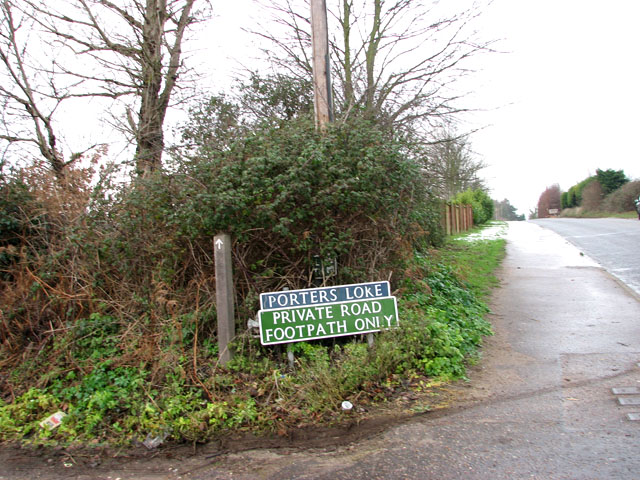
Image: © Evelyn Simak Taken: 24 Dec 2009
Porters Loke is a private road turning off Butt Lane and leading to properties situated alongside it. It also serves as a public footpath to the River Waveney.
Images are licensed for reuse under creativecommons.org/licenses/by-sa/2.0
Image Location
Latitude
52.576774
Longitude
1.661485