Brighton Road
Introduction
The photograph on this page of Brighton Road by Simon Carey as part of the Geograph project.
The Geograph project started in 2005 with the aim of publishing, organising and preserving representative images for every square kilometre of Great Britain, Ireland and the Isle of Man.

There are currently over 7.5m images from over 14,400 individuals and you can help contribute to the project by visiting https://www.geograph.org.uk
Brighton Road
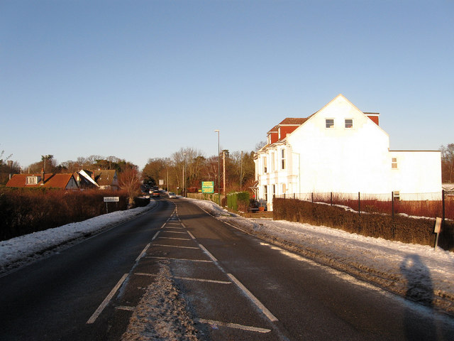
Image: © Simon Carey Taken: 20 Dec 2009
Looking up the A273 as it travels towards Stonepound Crossroads. The road closely follows the course of an old Roman road and was a major London-Brighton coaching route from the 18th century.
Images are licensed for reuse under creativecommons.org/licenses/by-sa/2.0
Image Location
Latitude
50.922279
Longitude
-0.153502