Hurst Road
Introduction
The photograph on this page of Hurst Road by Simon Carey as part of the Geograph project.
The Geograph project started in 2005 with the aim of publishing, organising and preserving representative images for every square kilometre of Great Britain, Ireland and the Isle of Man.

There are currently over 7.5m images from over 14,400 individuals and you can help contribute to the project by visiting https://www.geograph.org.uk
Hurst Road
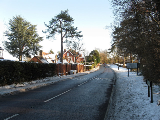
Image: © Simon Carey Taken: 20 Dec 2009
The name of the B2116 between the parish boundary with Hurstpierpoint, where I am standing taking the image, and Stonepound Crossroads. Ribbon development along the road means only the signs give an indication where one settlement starts and another ends.
Images are licensed for reuse under creativecommons.org/licenses/by-sa/2.0
Image Location


Leaflet Map data © OpenStreetMap
Latitude
50.926256
Longitude
-0.160459