Crossways Lane
Introduction
The photograph on this page of Crossways Lane by Simon Carey as part of the Geograph project.
The Geograph project started in 2005 with the aim of publishing, organising and preserving representative images for every square kilometre of Great Britain, Ireland and the Isle of Man.

There are currently over 7.5m images from over 14,400 individuals and you can help contribute to the project by visiting https://www.geograph.org.uk
Crossways Lane
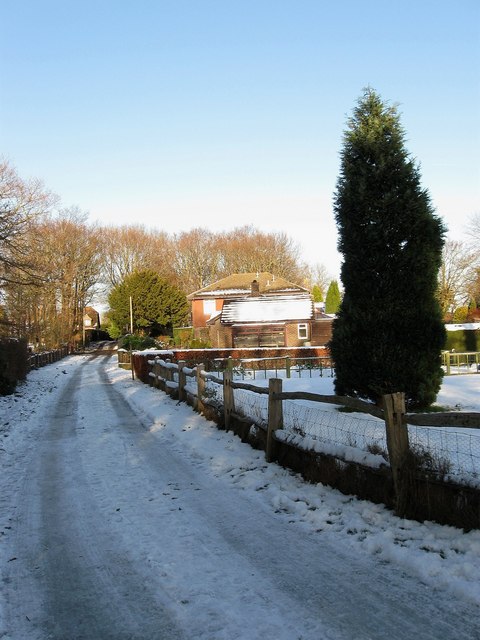
Image: © Simon Carey Taken: 20 Dec 2009
Private road leading to the B2116 though it is a public footpath. The house on the right is The Dell.
Images are licensed for reuse under creativecommons.org/licenses/by-sa/2.0
Image Location
Latitude
50.925372
Longitude
-0.16149