South Moor turn at Oxhill
Introduction
The photograph on this page of South Moor turn at Oxhill by Pauline E as part of the Geograph project.
The Geograph project started in 2005 with the aim of publishing, organising and preserving representative images for every square kilometre of Great Britain, Ireland and the Isle of Man.

There are currently over 7.5m images from over 14,400 individuals and you can help contribute to the project by visiting https://www.geograph.org.uk
South Moor turn at Oxhill
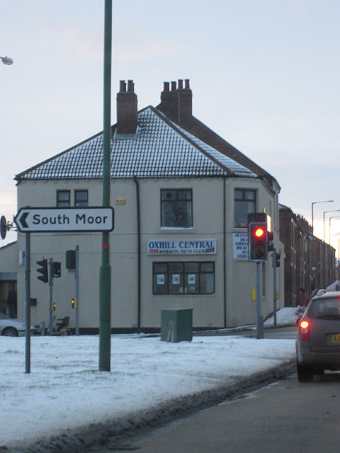
Image: © Pauline E Taken: 18 Dec 2009
From the A693 heading for Annfield Plain.
Images are licensed for reuse under creativecommons.org/licenses/by-sa/2.0
Image Location
Latitude
54.866116
Longitude
-1.707213