Junction on Livermead Hill
Introduction
The photograph on this page of Junction on Livermead Hill by Derek Harper as part of the Geograph project.
The Geograph project started in 2005 with the aim of publishing, organising and preserving representative images for every square kilometre of Great Britain, Ireland and the Isle of Man.

There are currently over 7.5m images from over 14,400 individuals and you can help contribute to the project by visiting https://www.geograph.org.uk
Junction on Livermead Hill
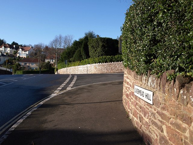
Image: © Derek Harper Taken: 20 Dec 2009
To the right is Old Mill Road, beginning a long journey across two valleys through to Chelston. Ahead is Wheatridge Lane, passing through the housing of Livermead.
Images are licensed for reuse under creativecommons.org/licenses/by-sa/2.0
Image Location
Latitude
50.455539
Longitude
-3.547953