Lichfield City Station
Introduction
The photograph on this page of Lichfield City Station by Michael Westley as part of the Geograph project.
The Geograph project started in 2005 with the aim of publishing, organising and preserving representative images for every square kilometre of Great Britain, Ireland and the Isle of Man.

There are currently over 7.5m images from over 14,400 individuals and you can help contribute to the project by visiting https://www.geograph.org.uk
Lichfield City Station
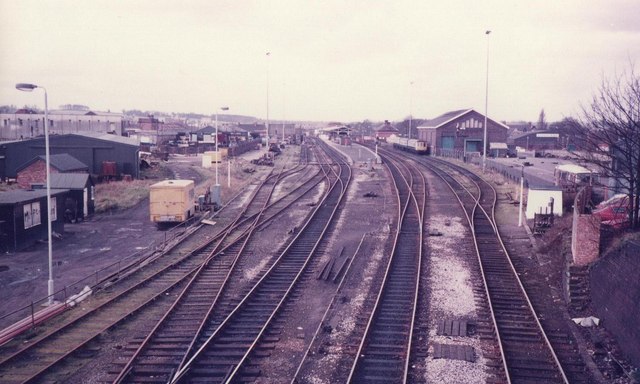
Image: © Michael Westley Taken: Unknown
Looking west towards station from footpath (and right of way) across the line. The footpath is part of well-signposted long distance footpath called the Heart of England Way. To the north it continues to Cannock Chase, to the south it runs through Kingsbury, Meriden and all the way to the Cotswolds and Bourton on the Water. http://www.heartofenglandway.org
Images are licensed for reuse under creativecommons.org/licenses/by-sa/2.0
Image Location
Latitude
52.681085
Longitude
-1.823049