Tickenham Rhyne levee
Introduction
The photograph on this page of Tickenham Rhyne levee by Michael Dennis Stagg as part of the Geograph project.
The Geograph project started in 2005 with the aim of publishing, organising and preserving representative images for every square kilometre of Great Britain, Ireland and the Isle of Man.

There are currently over 7.5m images from over 14,400 individuals and you can help contribute to the project by visiting https://www.geograph.org.uk
Tickenham Rhyne levee
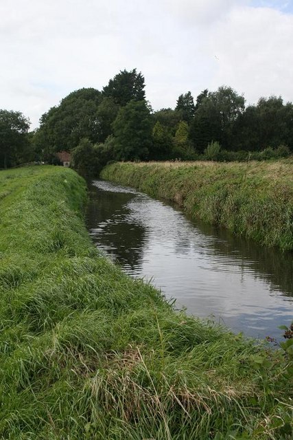
Image: © Michael Dennis Stagg Taken: 29 Aug 2009
The levee is above the arable field and obviously stream re-alignment has occurred, the bridge is broken and needs great care over a very deep water and silt, vegetal mass. Heron area.
Images are licensed for reuse under creativecommons.org/licenses/by-sa/2.0
Image Location
Latitude
51.440901
Longitude
-2.790984