Upper Bruntingthorpe
Introduction
The photograph on this page of Upper Bruntingthorpe by Ian Rob as part of the Geograph project.
The Geograph project started in 2005 with the aim of publishing, organising and preserving representative images for every square kilometre of Great Britain, Ireland and the Isle of Man.

There are currently over 7.5m images from over 14,400 individuals and you can help contribute to the project by visiting https://www.geograph.org.uk
Upper Bruntingthorpe
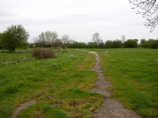
Image: © Ian Rob Taken: 2 May 2006
An old point of access to the aerodrome leads from this small housing estate.
Images are licensed for reuse under creativecommons.org/licenses/by-sa/2.0
Image Location
Latitude
52.489236
Longitude
-1.106007