Victorian estate cottages in Heather Lane
Introduction
The photograph on this page of Victorian estate cottages in Heather Lane by John Mitchell as part of the Geograph project.
The Geograph project started in 2005 with the aim of publishing, organising and preserving representative images for every square kilometre of Great Britain, Ireland and the Isle of Man.

There are currently over 7.5m images from over 14,400 individuals and you can help contribute to the project by visiting https://www.geograph.org.uk
Victorian estate cottages in Heather Lane
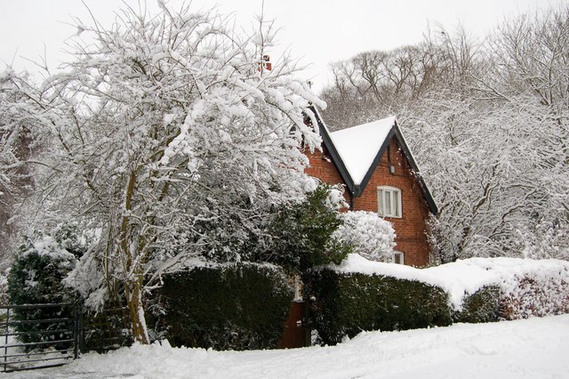
Image: © John Mitchell Taken: 5 Feb 2009
The pair of cottages in Heather Lane were originally part of the Billing Arbours estate. This included the still existing large wood which lies behind the cottages. The photo was taken following a night of very heavy snowfall in February 2009.
Images are licensed for reuse under creativecommons.org/licenses/by-sa/2.0
Image Location
Latitude
52.26722
Longitude
-0.842308