Gretton Church
Introduction
The photograph on this page of Gretton Church by Philip Halling as part of the Geograph project.
The Geograph project started in 2005 with the aim of publishing, organising and preserving representative images for every square kilometre of Great Britain, Ireland and the Isle of Man.

There are currently over 7.5m images from over 14,400 individuals and you can help contribute to the project by visiting https://www.geograph.org.uk
Gretton Church
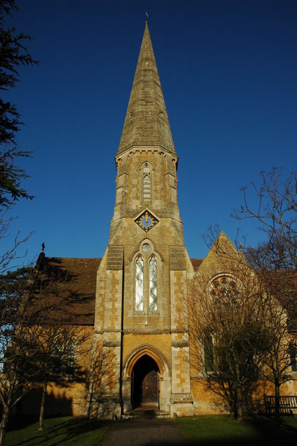
Image: © Philip Halling Taken: 20 Dec 2009
Christ Church, Gretton viewed from the south, the church was built in the 1860s.
Images are licensed for reuse under creativecommons.org/licenses/by-sa/2.0
Image Location
Latitude
51.973239
Longitude
-1.992384