Old bridge abutment on the A75
Introduction
The photograph on this page of Old bridge abutment on the A75 by Oliver Dixon as part of the Geograph project.
The Geograph project started in 2005 with the aim of publishing, organising and preserving representative images for every square kilometre of Great Britain, Ireland and the Isle of Man.

There are currently over 7.5m images from over 14,400 individuals and you can help contribute to the project by visiting https://www.geograph.org.uk
Old bridge abutment on the A75
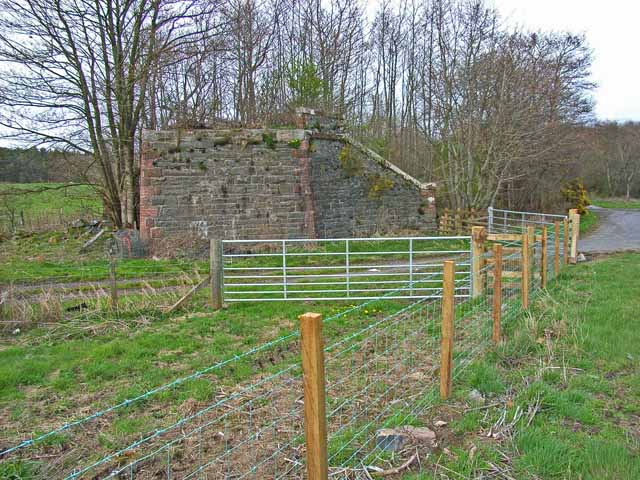
Image: © Oliver Dixon Taken: 27 Apr 2006
Looking east. The bridge formerly carried the Dumfries to Stranraer railway (closed in the 1960s) over the A75. The main road performed a sharp double bend under the bridge, but has now been realigned. (The road in the foreground is just a farm road serving Benfield Farm)
Images are licensed for reuse under creativecommons.org/licenses/by-sa/2.0
Image Location
Latitude
54.946003
Longitude
-4.533958