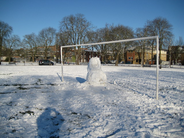
Watford Fields Recreation Ground
Introduction
The photograph on this page of Watford Fields Recreation Ground by Nigel Cox as part of the Geograph project.
The Geograph project started in 2005 with the aim of publishing, organising and preserving representative images for every square kilometre of Great Britain, Ireland and the Isle of Man.
There are currently over 7.5m images from over 14,400 individuals and you can help contribute to the project by visiting https://www.geograph.org.uk

Image: © Nigel Cox Taken: 20 Dec 2009
The trials and tribulations of Watford FC during December 2009 when the club narrowly missed being placed into administration have been well-documented. Here an experiment by the club to turn the snowy conditions to their advantage by freeing up their usual goalkeeper to play in the outfield came to a premature end when a drunken reveller decapitated the Queen Victoria look-alike stand-in.

