Nuttall Lane Ramsbottom
Introduction
The photograph on this page of Nuttall Lane Ramsbottom by Paul Anderson as part of the Geograph project.
The Geograph project started in 2005 with the aim of publishing, organising and preserving representative images for every square kilometre of Great Britain, Ireland and the Isle of Man.

There are currently over 7.5m images from over 14,400 individuals and you can help contribute to the project by visiting https://www.geograph.org.uk
Nuttall Lane Ramsbottom
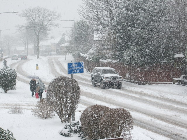
Image: © Paul Anderson Taken: 22 Dec 2009
Taken during adverse weather conditions in December 2009 as snow continued to fall in the area for the third consecutive day causing many local roads to become impassable. The lack of gritting by the Bury Metropolitan Borough Council was evident as local bus services which use Nuttall Lane were suspended.
Images are licensed for reuse under creativecommons.org/licenses/by-sa/2.0
Image Location
Latitude
53.640272
Longitude
-2.317892