Moira Drive, Bangor
Introduction
The photograph on this page of Moira Drive, Bangor by Rossographer as part of the Geograph project.
The Geograph project started in 2005 with the aim of publishing, organising and preserving representative images for every square kilometre of Great Britain, Ireland and the Isle of Man.

There are currently over 7.5m images from over 14,400 individuals and you can help contribute to the project by visiting https://www.geograph.org.uk
Moira Drive, Bangor
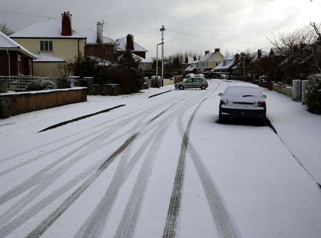
Image: © Rossographer Taken: 20 Dec 2009
Moira Drive with a light dusting of snow. The street, formerly the site of Bangor Golf Club, was mainly developed in the 1930s when the club shifted to nearby Broadway. Many of the houses were badly damaged by bombers during WW2, a German pilot mistaking the golf course for an airfield.
Images are licensed for reuse under creativecommons.org/licenses/by-sa/2.0
Image Location
Latitude
54.658675
Longitude
-5.658056