Countryside near Colerne
Introduction
The photograph on this page of Countryside near Colerne by Nigel Mykura as part of the Geograph project.
The Geograph project started in 2005 with the aim of publishing, organising and preserving representative images for every square kilometre of Great Britain, Ireland and the Isle of Man.

There are currently over 7.5m images from over 14,400 individuals and you can help contribute to the project by visiting https://www.geograph.org.uk
Countryside near Colerne
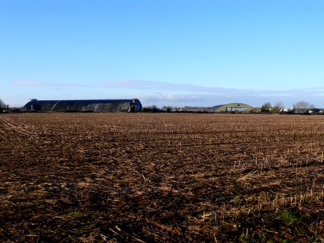
Image: © Nigel Mykura Taken: 17 Dec 2009
View west across the fields on the north side of the village. In the distance are some of the hangars of Colerne Airfield which was an RAF war time fighter base.
Images are licensed for reuse under creativecommons.org/licenses/by-sa/2.0
Image Location
Latitude
51.441832
Longitude
-2.265407