Fields near Epperstone
Introduction
The photograph on this page of Fields near Epperstone by Alan Murray-Rust as part of the Geograph project.
The Geograph project started in 2005 with the aim of publishing, organising and preserving representative images for every square kilometre of Great Britain, Ireland and the Isle of Man.

There are currently over 7.5m images from over 14,400 individuals and you can help contribute to the project by visiting https://www.geograph.org.uk
Fields near Epperstone
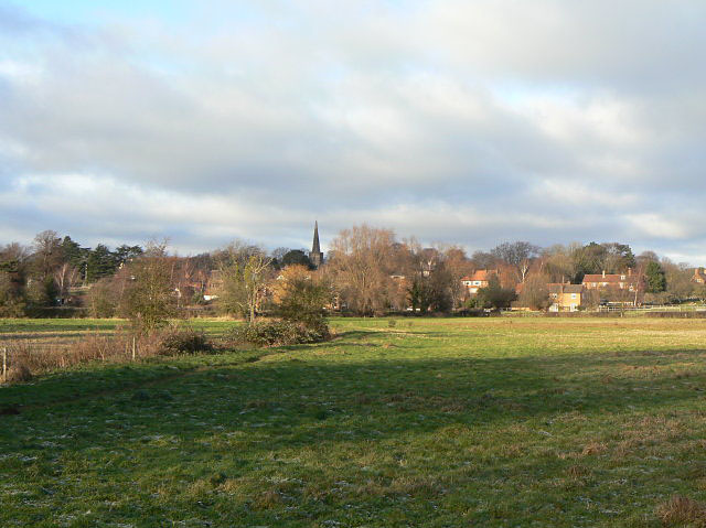
Image: © Alan Murray-Rust Taken: 18 Dec 2009
The footpath to the village can be seen running alongside the ditch, with the spire of the church in the distance.
Images are licensed for reuse under creativecommons.org/licenses/by-sa/2.0
Image Location
Latitude
53.027303
Longitude
-1.02902