Holliday Street
Introduction
The photograph on this page of Holliday Street by P L Chadwick as part of the Geograph project.
The Geograph project started in 2005 with the aim of publishing, organising and preserving representative images for every square kilometre of Great Britain, Ireland and the Isle of Man.

There are currently over 7.5m images from over 14,400 individuals and you can help contribute to the project by visiting https://www.geograph.org.uk
Holliday Street
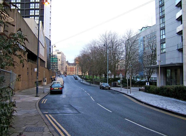
Image: © P L Chadwick Taken: 21 Dec 2009
The northeast end of Holliday Street, looking to its junction with Suffolk Street Queensway (the A38). This end of Holliday Street is full of modern multi-storey buildings.
Images are licensed for reuse under creativecommons.org/licenses/by-sa/2.0
Image Location
Latitude
52.47783
Longitude
-1.906021