West side of lower Stow Hill, Newport
Introduction
The photograph on this page of West side of lower Stow Hill, Newport by Jaggery as part of the Geograph project.
The Geograph project started in 2005 with the aim of publishing, organising and preserving representative images for every square kilometre of Great Britain, Ireland and the Isle of Man.

There are currently over 7.5m images from over 14,400 individuals and you can help contribute to the project by visiting https://www.geograph.org.uk
West side of lower Stow Hill, Newport
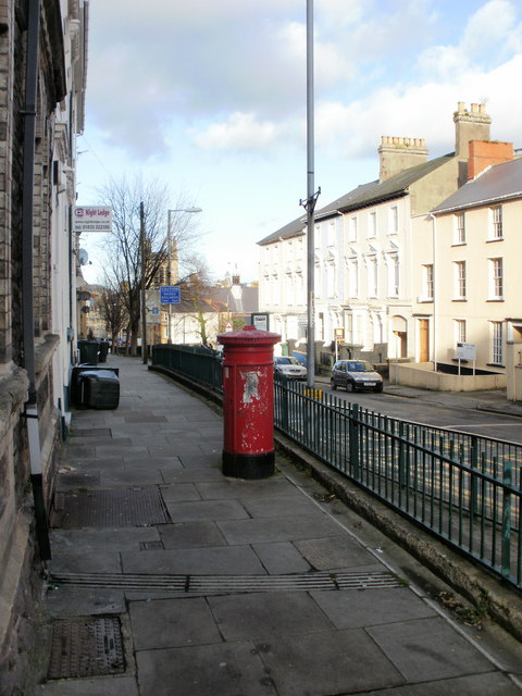
Image: © Jaggery Taken: 20 Dec 2009
The view along the raised pavement on the west side of Stow Hill, looking towards the city centre from the corner of Havelock Street. The tatty pillarbox has the VR insignia (Victorian). http://www.geograph.org.uk/photo/4749532
Images are licensed for reuse under creativecommons.org/licenses/by-sa/2.0
Image Location
Latitude
51.585713
Longitude
-2.9973