Wellington: the library
Introduction
The photograph on this page of Wellington: the library by Chris Downer as part of the Geograph project.
The Geograph project started in 2005 with the aim of publishing, organising and preserving representative images for every square kilometre of Great Britain, Ireland and the Isle of Man.

There are currently over 7.5m images from over 14,400 individuals and you can help contribute to the project by visiting https://www.geograph.org.uk
Wellington: the library
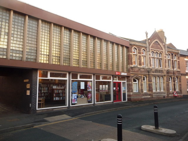
Image: © Chris Downer Taken: 13 Dec 2009
The original library building, on the right, are inscribed as such, while a more modern extension has been appended on the left.
Images are licensed for reuse under creativecommons.org/licenses/by-sa/2.0
Image Location
Latitude
52.700572
Longitude
-2.519968