NCI Peveril Point look-out station
Introduction
The photograph on this page of NCI Peveril Point look-out station by Phil Champion as part of the Geograph project.
The Geograph project started in 2005 with the aim of publishing, organising and preserving representative images for every square kilometre of Great Britain, Ireland and the Isle of Man.

There are currently over 7.5m images from over 14,400 individuals and you can help contribute to the project by visiting https://www.geograph.org.uk
NCI Peveril Point look-out station
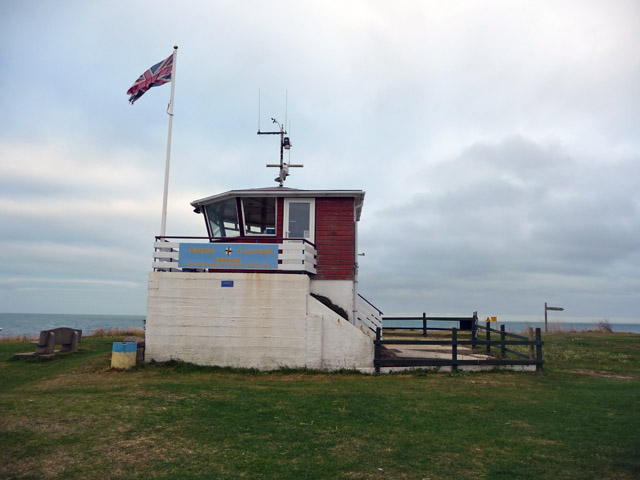
Image: © Phil Champion Taken: 22 Sep 2009
This form coastguard lookout is built on top of a wartime gun emplacement and is now operated by the National Coastwatch Institution.
Images are licensed for reuse under creativecommons.org/licenses/by-sa/2.0
Image Location


Leaflet Map data © OpenStreetMap
Latitude
50.607105
Longitude
-1.946247