Chained Gate and Field
Introduction
The photograph on this page of Chained Gate and Field by Michael Patterson as part of the Geograph project.
The Geograph project started in 2005 with the aim of publishing, organising and preserving representative images for every square kilometre of Great Britain, Ireland and the Isle of Man.

There are currently over 7.5m images from over 14,400 individuals and you can help contribute to the project by visiting https://www.geograph.org.uk
Chained Gate and Field
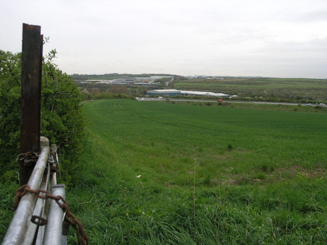
Image: © Michael Patterson Taken: 2 May 2006
This field is in marked contrast to the industrial use the land on the opposite side of the road is put. Most of the units in the distance are in the next square south at Waleswood.
Images are licensed for reuse under creativecommons.org/licenses/by-sa/2.0
Image Location
Latitude
53.353583
Longitude
-1.308879