Caldwell's northern houses
Introduction
The photograph on this page of Caldwell's northern houses by Andy Waddington as part of the Geograph project.
The Geograph project started in 2005 with the aim of publishing, organising and preserving representative images for every square kilometre of Great Britain, Ireland and the Isle of Man.

There are currently over 7.5m images from over 14,400 individuals and you can help contribute to the project by visiting https://www.geograph.org.uk
Caldwell's northern houses
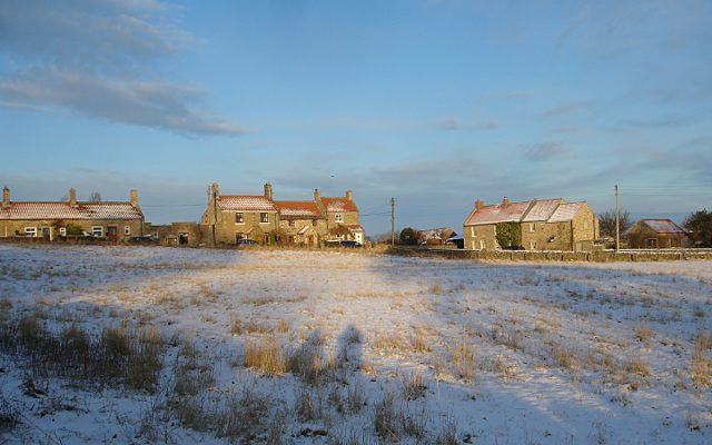
Image: © Andy Waddington Taken: 19 Dec 2009
Caldwell is somewhat spread out, with fields intertwined with village and new housing along roads both northeast and south-southeast of the original village centre. This is the smaller, more northerly of two clusters of relatively recent pan-tile roofed houses, seen across the biggest of the village fields, from the car park of the Brownlow Arms.
Images are licensed for reuse under creativecommons.org/licenses/by-sa/2.0
Image Location
Latitude
54.516543
Longitude
-1.75096