Carron
Introduction
The photograph on this page of Carron by Ann Harrison as part of the Geograph project.
The Geograph project started in 2005 with the aim of publishing, organising and preserving representative images for every square kilometre of Great Britain, Ireland and the Isle of Man.

There are currently over 7.5m images from over 14,400 individuals and you can help contribute to the project by visiting https://www.geograph.org.uk
Carron
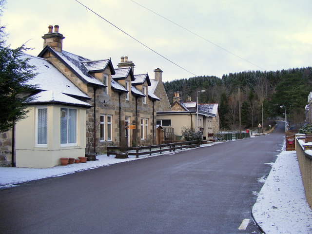
Image: © Ann Harrison Taken: 18 Dec 2009
Carron is a hamlet by the river Spey, it once had a rail link but this has long gone.
Images are licensed for reuse under creativecommons.org/licenses/by-sa/2.0
Image Location
Latitude
57.456445
Longitude
-3.300279