Council Housing - Newman Road
Introduction
The photograph on this page of Council Housing - Newman Road by John M as part of the Geograph project.
The Geograph project started in 2005 with the aim of publishing, organising and preserving representative images for every square kilometre of Great Britain, Ireland and the Isle of Man.

There are currently over 7.5m images from over 14,400 individuals and you can help contribute to the project by visiting https://www.geograph.org.uk
Council Housing - Newman Road
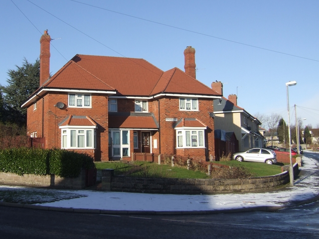
Image: © John M Taken: 20 Dec 2009
Large semi-detached house on a corner plot on the 1937 Scotlands Estate.
Images are licensed for reuse under creativecommons.org/licenses/by-sa/2.0
Image Location
Latitude
52.617076
Longitude
-2.102756